Analytics
Practical change detection from Sentinel-2 for agriculture
A pragmatic pipeline for detecting crop stress and land-use change using open satellite data, cloud masks, and a lot of careful validation.
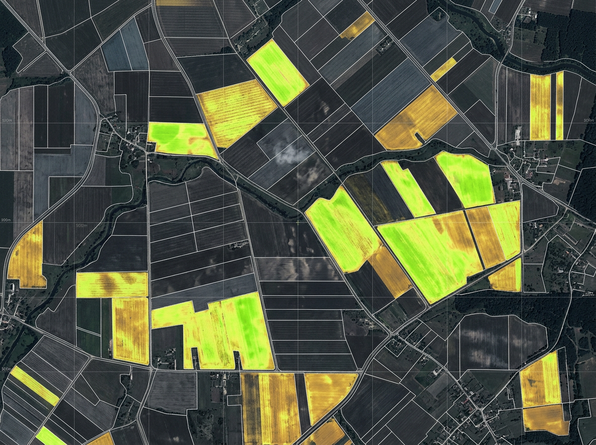
Free, frequent, 10-meter imagery has changed what is possible for agriculture analytics. But raw Sentinel-2 scenes are noisy, cloudy and inconsistent. Most of the work is in making the data trustworthy.
Cloud masking is the whole game
We combine the scene classification layer with a lightweight cloud-shadow model and temporal outlier detection. Anything uncertain is excluded rather than interpolated, and the UI shows where data is missing.
Validate with the field
Every model we ship is checked against ground-truth samples collected by agronomists using our field app. That closed loop is what turns an interesting map into a decision tool.