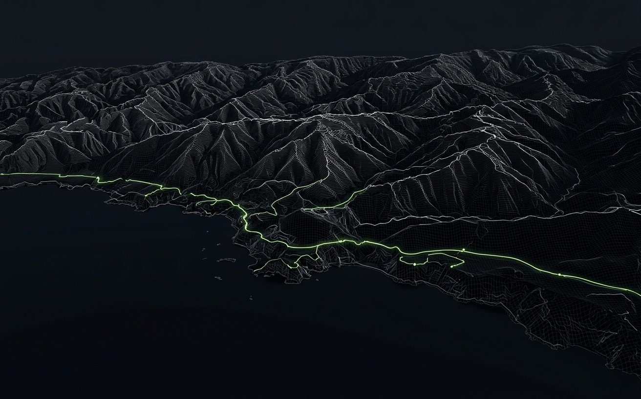
Featured · Engineering
Serving 40 million parcels as vector tiles without melting PostGIS
How we moved a national cadastre from on-the-fly WMS rendering to pre-generated and dynamic vector tiles, and cut p95 map latency by 92%.
Blog
Engineering deep dives, project retrospectives and lessons learned from building geospatial software in production.
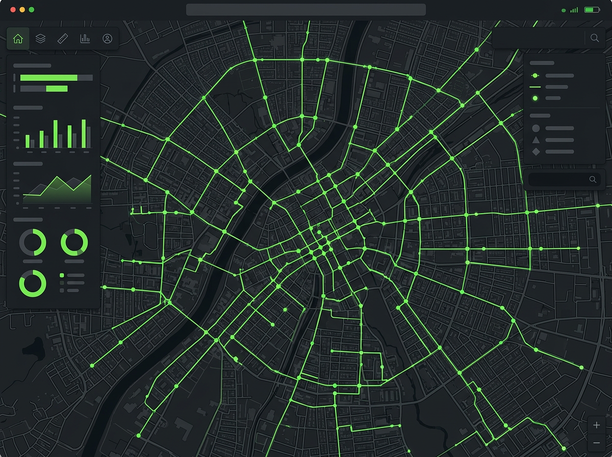
Mobile
Conflict resolution, GNSS accuracy, and the unglamorous details that make or break a mobile GIS app when coverage drops to zero.
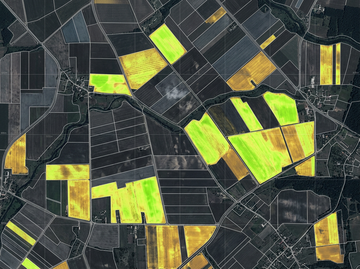
Analytics
A pragmatic pipeline for detecting crop stress and land-use change using open satellite data, cloud masks, and a lot of careful validation.
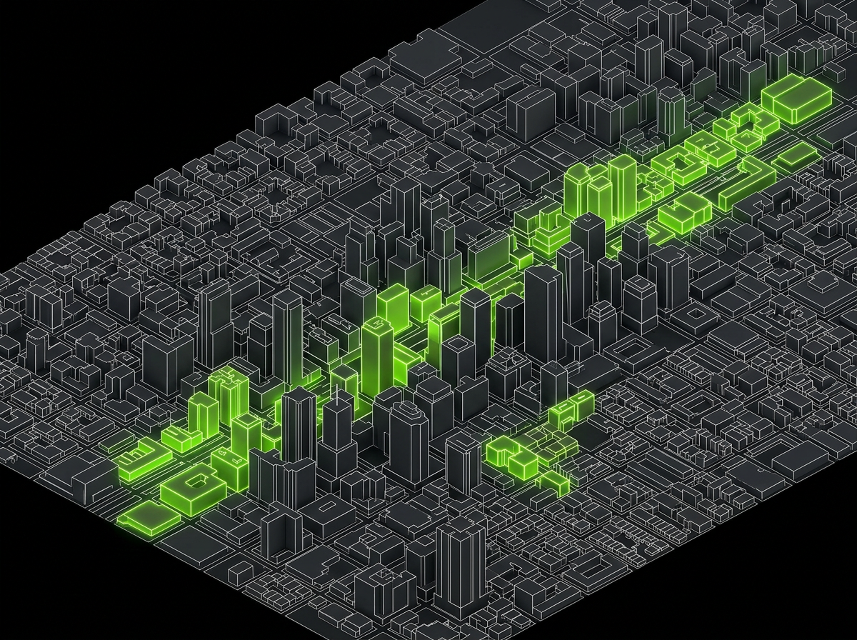
3D
What a useful digital twin actually needs: 3D Tiles, a clean data model, and a narrow first use case that the operations team cares about.